
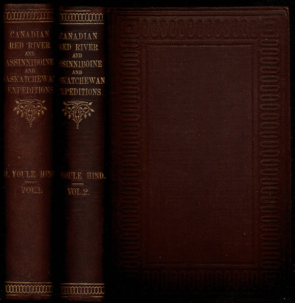


Narrative of the Canadian Red River exploring expedition of 1857 and of the Assinniboine and Saskatchewan exploring expedition of 1858
Author: Henry Youle Hind (1823-1908)
Year: 1860
Publisher: Longman, Green, Longman and Roberts
Place: London
Description:
2 volumes. xx+404+[2 ad] pages with 14 chromoxylographs, 33 woodcuts and 5 maps (one folding); xvi+472+[iii] pages with 6 chromoxylographs plates from photographs taken by Humphrey Lloyd Hime, photographer to the expedition, or from sketches by John Fleming, assistant surveyor and draughtsman, 43 woodcuts, 3 maps and plans (two folding) and appendix. Royal octavo (9" x 6") bound in original publisher's brown cloth with gilt lettering to spine and blind stamped ruled edges with terracotta stamping. (Abbey, Travel, 630; Field 699; Graff 1892; Lande 1235; Pilling, Siouan, p. 36; Sabin 31933; Wagner-Camp 361) First editions.
Henry Youle Hind a Victorian-era scientist, explorer, surveyor, and writer of popular exploration texts, Hind made a range of contributions to the advancement of science in Canada. His surveys of the North-West between 1857 and 1860 produced the country s first scientific information about the region, including the earliest photography and accurate maps. His identification of travel routes and especially of arable land led to definitive statements that linked the future of the west to eastern Canada and to settlement and agriculture, and held a role in Canada s decision to pursue the acquisition of Rupert s Land from the Hudson s Bay Company (HBC), albeit without regard for Indigenous peoples.
His popular versions of his experiences of the North-West and of his 1861 exploration of the Moisie River in Quebec are classics of Canadian exploration literature. His perceptive descriptions of the lands where he travelled and of their First Nations, Métis, and settler inhabitants brought Canadian exploration into the public realm. Hind also promoted the idea of an expansive country in the years around Confederation by producing the country s first regional handbooks. He participated in a survey and scientific study of the area known as the North-West. This was the first such study funded by the Province of Canada of areas beyond its borders. The lands to be examined began at the head of Lake Superior and went as far as Portage la Prairie.
Hind was the expedition s geologist and naturalist, and his report presented new information about the North-West that ranged from natural history, geology, topography, meteorology, to ethnography. In 1858-60, Hind directed a second, more ambitious survey, westward from Lake Winnipeg and Red River as far as the south branch of the Saskatchewan River. His subsequent reports and publications provided Canada with geological, agricultural, and climatological knowledge of the region between Red River and the Rocky Mountains, and affirmed that some of the land beyond Lake Superior was suitable for settlement and not sub-Arctic wilderness suitable only for fur trade.
Condition:
Some staining to heal pages of volume 2, front endpaper beginning else a very good set.