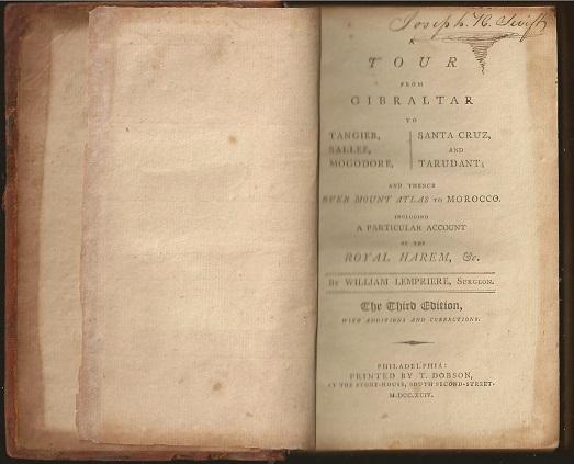


Narrative of a Voyage to the Pacific and Beering's Strait, to co-operate with the Polar Expeditions: preformed in his Majesty's Ship Blossom ... in the Years 1825, 26, 27, 28
Author: Frederick William Beechey (1796-1856)
Year: 1831
Publisher: Henry Colburn and Richard Bentley
Place: London
Description:
2 volumes. xxi+472 pages with three maps (two folding and one double page), figures, and 13 plates; iv+452 pages with 10 plates (some folding), tables and appendices. Octavo (9 1/2" x 5 1/2") Bound in contemporary half leather with marbled boards and gilt lettering to spine. (Ferguson 1418; Hill I, p. 19; Howes B309; Lada-Mocarski 95; Sabin 4347). Second edition published after quarto edition of the same year.
Frederick William Beechey (1796-1856) was an English naval officer and geographer. He was the son of Sir William Beechey RA, and was born in London. 1806 he entered the Royal Navy, and saw active service during the wars with France and America. In 1818 he served under Lieutenant (afterwards Sir) John Franklin in David Buchan's Arctic expedition, of which at a later period he published a narrative. In the following year he accompanied Lieutenant W. E. Parry in HMS Hecla. In 1821 he took part in the survey of the Mediterranean coast of Africa under the direction of Captain, afterwards Admiral, William Henry Smyth. He and his brother Henry William Beechey, made an overland survey of this coast and published a full account of their work in 1828 under the title of Proceedings of the Expedition to Explore the Northern Coast of Africa from Tripoly Eastward in 1821-1822. In 1825, Beechey was appointed to command the HMS Blossom. His task was to explore the Bering Strait in concert with Franklin and Parry operating from the east. In the summer of 1826, he passed the strait and a barge from his ship reached 71°23'31" N., and 156°21'30" W. near Point Barrow which he named, a point only 146 miles west of that reached by Franklin's expedition from the Mackenzie river. The whole voyage lasted more than three years and in the course of it Beechey discovered several islands in the Pacific, and an excellent harbor near Cape Prince of Wales. In July 1826, he named the three islands in the Bering Strait. Two were the Diomede Islands that Vitus Bering had named in 1728: "Ratmanoff Island" (Big Diomede) and "Krusenstern Island" (Little Diomede). Beechey called the uninhabited third islet "Fairway Rock", which is still its contemporary name. One of his crew, Petty Officer John Bechervaise, gave a detailed account of the voyage in his Thirty Six Years if a Seafaring Life by an Old Quartermaster, published privately in 1839. In 1831 there appeared his Narrative of a Voyage to the Pacific and Beering's Strait to Co-operate with the Polar Expeditions, 1825-1828. In 1835, and the following year Captain Beechey was employed on the coast survey of South America, and from 1837 to 1847, carried on the same work along the Irish coasts. He was appointed in 1850 to preside over the Marine Department of the Board of Trade. In 1854, he was made rear-admiral, and in the following year was elected president of the Royal Geographical Society. Beechey Island, where Sir John Franklin wintered, is named after him.
Condition:
Name neatly excised from head corner of titles, small inconspicuous stamp to last pages. Inner hinges beginning, marble to boards rubbed, some stains to map. some toning to some plates, some plates not bound in order to the printer (but are all accounted for), corners gently bumped else about a very good set.