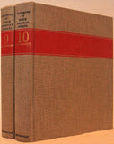
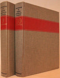
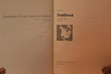
Handbook of North American Indians, Southwest Volumes 9 and 10
Author: Alfonso Alex Ortiz (1939-1997) editor
Year: 1979-1981
Publisher: Smithsonian Institution Press
Place: Washington, DC
Description:
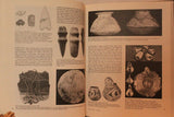
2 volumes. xvi+701 pages with illustrations, maps, tables, bibliography and index. xvi+868 pages with maps, illustrations, tables, bibliography and index. Quarto (11 1/4" x 8 1/2") bound in original publisher's grey cloth. with red stipe in gilt and black lettering to spine ang gilt "Smithsonian label" to cover. First editions.
Volume 9 is the first of two Handbook volumes on the Southwest, the second to appear as Volume 10. The Southwest, as delineated by the Handbook editors, extends from the Colorado River on the west to the Oklahoma and Texas panhandles. It runs from the Four Corners area south to the northern part of Nayarit. From the Pacific Coast in Nayarit, the line of demarcation extends generally eastward to the Gulf of Mexico in southern Tamaulipas, and then along the Gulf Coast to Matagorda Bay, Texas. This southern boundary dips far enough to include all of the Mexican states of Sinaloa and Durango, most of Zacatecas and San Luis Potosí, and parts of Jalisco, with a finger southward into Guanajuato and a tiny part of Michoacán. It is a most generous conception of the Southwest.
Condition:
Light edge wear else near fine.


